Steps and methods
Landscape monitoring, GPS mapping of pastoral routes, ethnography, interdisciplinary analysis and knowledge sharing.
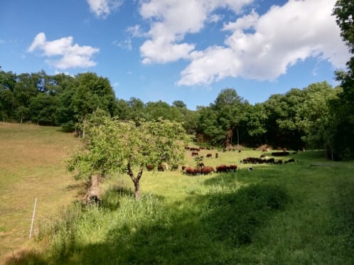
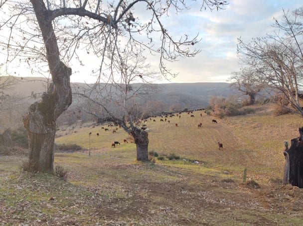
Following how the landscape changes
Transformation of landscape and land use on a local and regional scale.
 Preview
 Preview
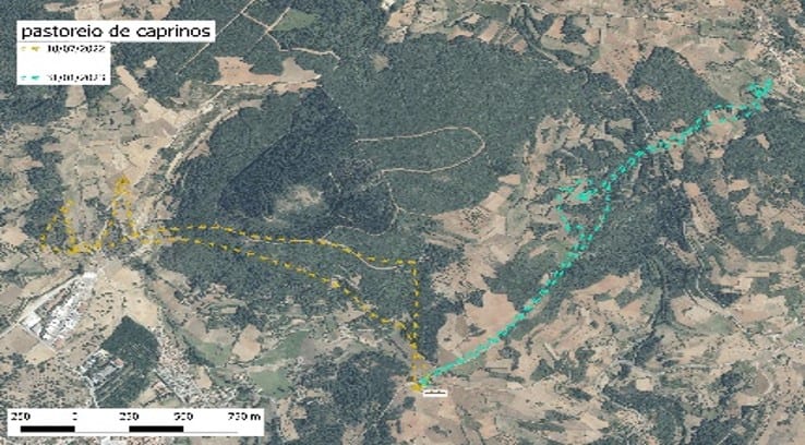
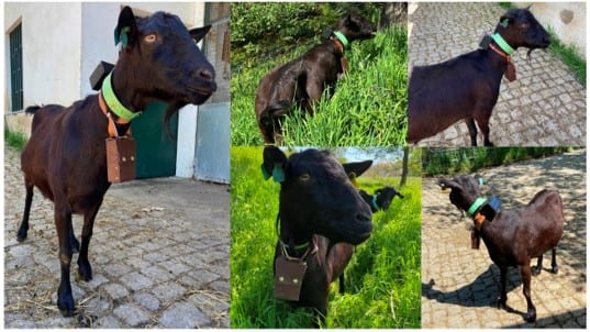
Mapping the grazing routes
6 case studies: mapping pastoral routes (GPS), recording usage density and seasonality.
 Preview
 Preview
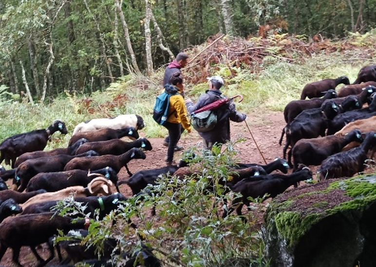
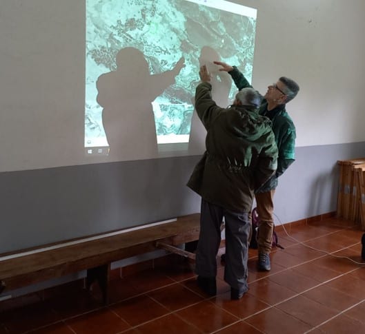
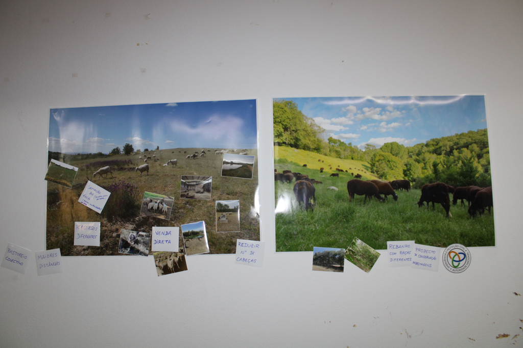
Walks, interviews and workshops
Identifying transformations in the production system and farmers' knowledge.
Recording perceptions of climate change, biodiversity, nature conservation, and future perspectives.
 Preview
 Preview
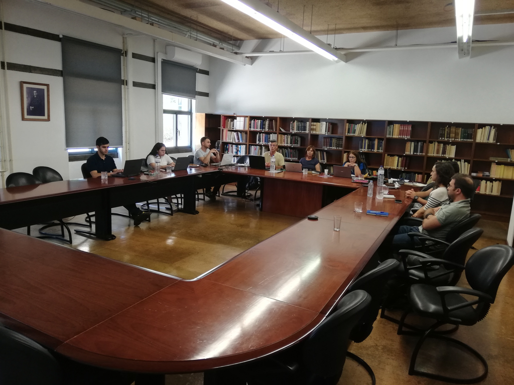
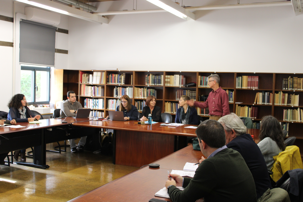
Bringing the results together across disciplines
Determining biophysical, ecological, and sociocultural implications of farmers' adaptations.
 Preview
 Preview
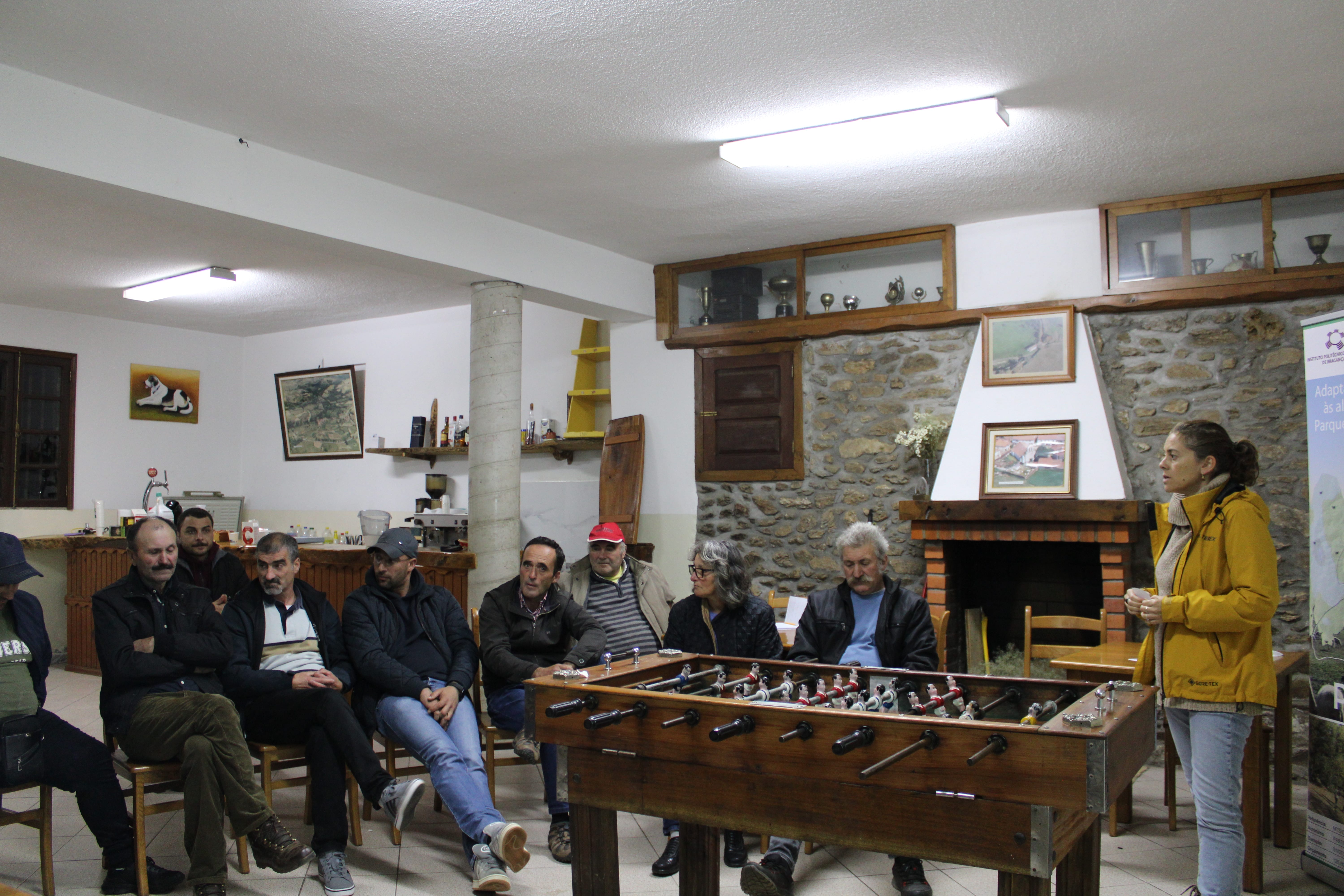
Sharing through participatory meetings and publications
Providing tools to ensure the continuity of pastoralism.
 Preview
 Preview